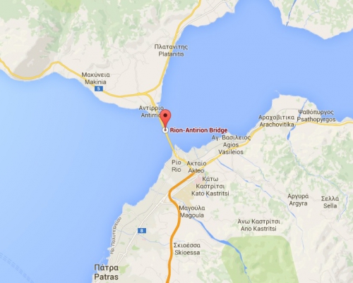
Karla lake and the Charilaos Trikoupis bridge
Karla lake
 http://geocarrefour.revues.org/1352
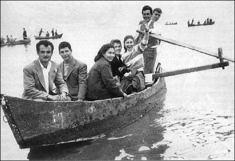
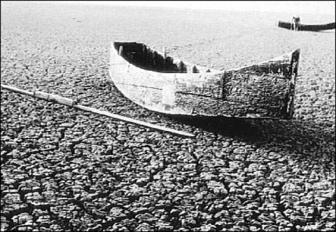
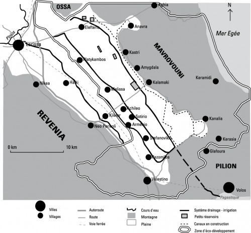
The presence of karla lake has been attested since the Antiquity in tales. The karla lake, formerly called voiivis , in the plains of Thessaly , is a lake drained in 1962 , which , through an ambitious project, will be filled with new water . Following its draining, in 1962 , an explosion of coton crops occurred in the region , in 80s. This provoked a water shortage in the eastern Thessalie plain.
The restoration project of the lake , seems to be the only solution for the rehabilitation of an entire ecosystem.
An ecosystem includes environment, living things, composing the humans and all the relations which can exist and develop in this system.
The goal of this project is also to develop sustainable development reforms .
However, some people think sustainable development is an excuse to obtain funds from the Europe an Union.
A small group of people, locally defends the project but there isn't a public debate on this planning.The concerned populations had difficulty to appropriate the project.
The lake restoration was accomplished in march 2010. The lake water and it around was very polluted and saline. It must be depolluted and drained because the drain system had a bad quality.
A petitioner farmer wrote a petition because he is opposed to the project. According to him, farmers and Magnisia's breeders could, until now use the dried lake bottom to cultivate the land products. It was also a grazing area.
He asks the European Parliament to give allowances to this people because they will lose their incomes. Furthermore, he asserts the Greek State didn't respect the law.
Charilaos Trikoupis bridge
http://www.linternaute.com/savoir/diaporama/pont_rion_antirion/7.shtml
http://www.sea-seek.com/?geo=4438
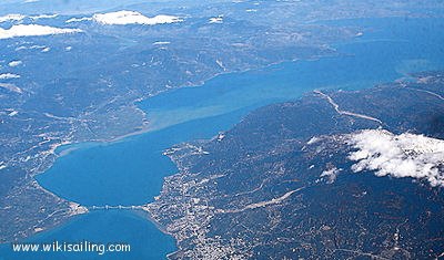
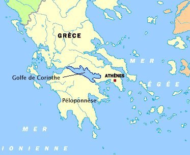
In southern Grece, a long stretch of sea called gulf of Corinthe cuts to the Peloponnese land.
 http://www.dt.insu.cnrs.fr/corinth/corinth.php
There are a million years, the Peloponnese was part of the continent. Since that time, tectonic movements affecting the region regularly depart the two areas of several millimeters at year.
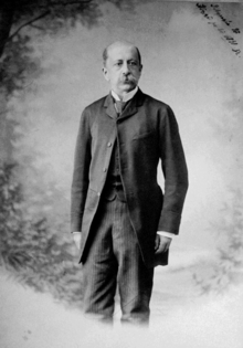
The idea is not new. In 1889 Harilaos Trikoupis, The Greek Prime Minister, wanted to build a structure at this opportunity.
http://fr.wikipedia.org/wiki/Charilaos_Trikoupis
It was built to connect the two pieces of land because before we had to be go by boat or around the gulf!
This is the first road over the gulf!
The Gulf of Corinthe is a dangerous place, there were some problems during the construction as earthquakes caused by tectonic plates and the bad weather ,was delayed the structure .
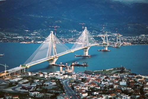
Its total length is 2800 meters! The work lasted 5 years!
The total funding (770 million Euros) is composed of :
-Shareholders' capital: 10%
-Grants from the Greek State 43%
-The loan from the European Investment Bank: 47%
Banks in the European Union have funded more than the Greek state.
So we conclude that the European Union loans were a great help for this project.

